
Winter Storm Threat 1/31-2/2
- Denys Khrulov
- Jan 27, 2021
- 2 min read
A winter storm threat looms late this weekend into early next week. What could you expect? Find out by reading below!
First lets take a look at the recent model guidance..
The GFS model
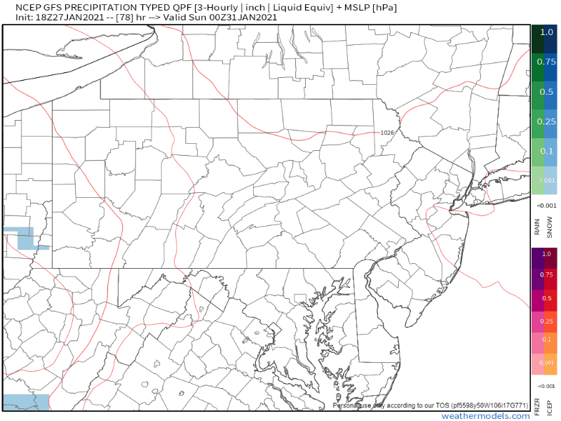
The GFS model is the warmest solution right now. It has the rain/snow line climb into the state, changing some locations to plain rain. Areas between the snow & plain rain see a significant ice storm.
The ECMWF Model

The ECMWF model is the colder solution right now. The rain/snow line stays south of the state, bringing an all-snow solution to the entire state. Portions of central and eastern Pennsylvania cash in the heavier snowfall rates as the primary low transfers to a coastal low.
As you can see, there is a lot of disagreement among the models still. This is expected, especially since the start of the storm is still 4 days out. Some parts of the storm are 6 days out. Flip-flopping within the model guidance is highly expected. However, by Friday we should get a better idea of what will happen with this storm.
ECMWF Ensembles (EPS)

With the storm being 4-6 days out, it is also a good thing to also look individual ensemble members to see what the big picture is. Out of the 51 ECMWF ensembles, the majority of them do have a storm (pictured by the red "L" symbols). However, there is a big spread among them, which once again, is expected this far out. What we get from this is that there is pretty high confidence that some sort of storm will be occuring.
Winter Storm Index Probability

Low (yellow) - There is a low (10-20%) chance of seeing winter storm impacts in this area. Some accumulating snow, ice, and/or sleet is possible. Check back for any updates.
Medium (orange) - There is a medium (30-50%) chance of seeing winter storm impacts in this area. The threat for significant snowfall and/or icing is possible in this area. Significant snowfall refers to 6 inches of snow or more in a 12 hour period or 8 inches of snow in a 24 hour period. Check back for any updates.
Make sure to follow on Facebook, Instagram, and Twitter for more updates!


Comments